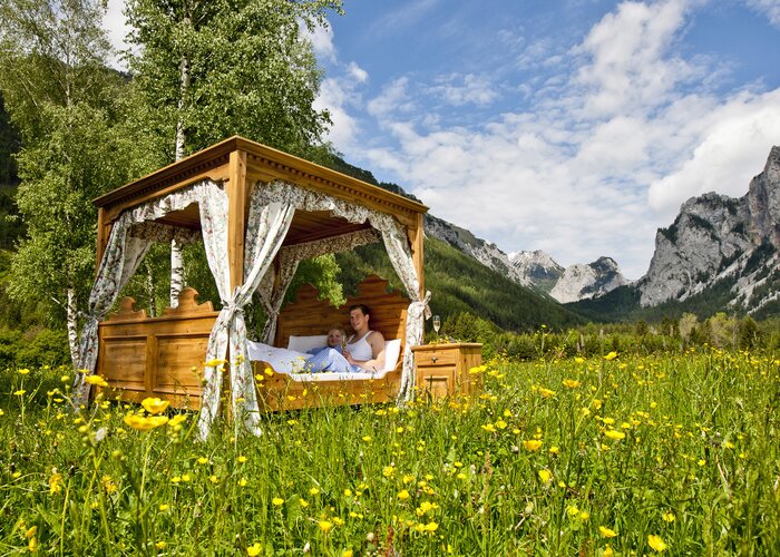
Hiking route From Peggau to the Tanneben plateau - Touren-Impression #1 | © Region Graz Hiking route From Peggau to the Tanneben plateau - Touren-Impression #1 | © Region Graz

From Peggau to the Tanneben plateau

Open
From Peggau to Pöllau and back via the Badl gorge
If you enjoy being in the countryside but don’t want to deny your taste for adventure, this tour from Peggau to Pöllau and back is just the thing for you. It’s exciting for hikers of all ages and has so much in store for you to discover again and again.

Characteristics

Skill
Fitness

Best season

The tour in numbers

medium
Level of difficulty
15,2 km
Route
5:00 h
Time
500 hm
Uphill
500 hm
Downhill
873 m
Highest point

Map & downloads

More information

Via the A9 coming from Graz or St. Michael (exit Peggau–Deutschfeistritz), or via the S35 (exit Peggau–Mitte).
From Peggau railway station you first make for the Peggauer Wand rock face. It is a nature-protected area, one of the Natura 2000 regions, and its caves are habitat to endangered, strictly protected species such as bats. On trail no. 756 you wander upwards onto the Taschen, then in a northerly direction across the Tanneben plateau (trail no. 12), and west of the Möstl- and Bloderkogel hills back to Pöllau, where there are plenty of refreshment points for invigoration. Going back, take trail no. 13 across the Bass gorge and past the Mautbühl hill towards the Pöllau cement works, then onwards to Peggau–Deutschfeistritz railway station.

A variant is the romantic trail no. 750 through the Badl gorge. But caution! The route crosses the Badlbach stream, is slippery in some spots and is only suitable for the surefooted!

The Repolust cave north of Peggau in the Badl gorge contains the oldest traces of human existence in Austria. Vestiges of fire places are around 300,000 years old.
Hikers can easily arrive without a car by using bus or train services. The frequent S1 trains between Graz and Bruck/Mur make reaching OberGraz easy.

(Gratwein–Gratkorn railway station)

More details on train and bus connections: www.verbundlinie.at and www.oebb.at

GUSTmobil minivan stops nearby: 1463, 1460 (on the Taschen in Semriach)

Rides can be booked a minimum of 60 minutes before desired departures by telephone (0123 500 44 11), or via Internet (www.ISTmobil.at), using the app. (business hours: Monday – Saturday: 6am – 12 midnight, Sundays & public holidays: 6am – 10pm)

Public car park in the Badl gorge (past the cement factory in the direction of the Lurgrotte Peggau grotto), or Park&Ride car park at Peggau–Deutschfeistritz railway station.

GUSTmobil-Haltestellen in der Nähe:           1463, 1460 (auf der Taschen in Semriach)

Einkehrmöglichkeiten:                                   Gasthof Zur Post, Restaurant La Cucina

freytag & berndt WK 132 Gleinalpe - Leoben - Voitsberg

Gallery

What the weather will be like

Peggau (401m)

Morning
very sunny
13°C
0%
5 km/h
Noon
slightly cloudy
18°C
20%
10 km/h
Night
weather.icon.04
16°C
40%
5 km/h
Fair or bright in the beginning, cloudy towards the end of the day.
Morning
weather.icon.66
12°C
85%
5 km/h
Noon
foggy
14°C
85%
5 km/h
Night
weather.icon.66
14°C
85%
5 km/h
Thick clouds and persistent rain with variable intensity.
17.05.2024
cloudy
11°C 18°C
18.05.2024
very sunny
10°C 22°C
19.05.2024
slightly cloudy
11°C 22°C

Nearby accommodation options

Continue to search

You may also be interested in

Recommended tours

r13 rötschgrabenweg_img_2059841 | © TRV Graz / Graz Umgebung
Semriach easy Open
Route 5,1 km
Duration 2:00 h

R13 Rötschgrabenweg

Accessible by public transport
r11 lehrwanderweg_img_17170045 | Andrea Gottlieb | © Region Graz
Semriach easy Open
Route 5,4 km
Duration 1:45 h

R11 Lehrwanderweg

Accessible by public transport
Wallfahrtskirche Maria Straßengel mit Friedhof | © Tourismusregion OberGraz
Graz Area easy Open
Route 10,9 km
Duration 3:45 h

Straßengler Frauenkogelrunde

Accessible by public transport
Schöckl Westgipfel | Region Graz - Harry Schiffer | © Region Graz
Stattegg medium Open
Route 12,4 km
Duration 4:45 h

Schöckl - Graz's popular mountain

Accessible by public transport
Pfarrkirche zum Heiligen Ägidius | Andrea Gottlieb | © Region Graz
Semriach easy Open
Route 3,6 km
Duration 1:30 h

R1 Markt-Rundweg

Accessible by public transport
Gipfelkreuz Hochtrötsch | Meike Brucher | © Region Graz
Peggau challenging Open
Route 16,5 km
Duration 5:30 h

Hike over the Hochtrötsch to Peggau

Accessible by public transport
Gasthof Dorfwirt | TV Frohnleiten - René Vidalli | © Region Graz
Frohnleiten medium Open
Route 7,7 km
Duration 3:10 h

Haneggkogel - the one with many variations